
Watauga Neighbors by Block
Public records describe parcels and dated relationships, not a complete block roster. The Tarrant County GIS Public Map Viewer begins with a situs address and can show the selected parcel, its boundaries, and map links. The TAD card then adds owner, mailing, legal-description, subdivision, and instrument context. A recorded deed traces ownership, while a historic directory can provide a dated address snapshot. Each source answers a different question about nearby Watauga neighbors.
| Source | What It Shows About a Block | Access |
|---|---|---|
| Tarrant GIS and TAD parcel layer | Adjacent polygons, situs, parcel or account references, and map relationships | Public viewer and ArcGIS Identify or Query actions |
| TAD property card | Owner, mailing address, subdivision, legal description, value, and instrument context | Public property search |
| County deed index | Recorded owners and a dated instrument trail for a parcel | Online index, kiosk, counter, mail, and archives |
| Voter record route | Status or authorized dated election-file information, subject to restrictions | State check and county request procedures |
| Historic directories | A past address and telephone or occupant snapshot for selected years | State Library, university collections, library, or archive research |
Owner, occupant, and mailing destination are not interchangeable. The parcel viewer has no household-member field, and a TAD mailing address can be different from the property’s situs address. Treat a name on the map or card as a record lead that needs a date and a custodian check.
Define a Watauga Neighbor Search
Before searching, write down what “neighbor” means for the question. It may mean a parcel that shares a boundary, a parcel directly across the street, lots in the same subdivision block, or a short street segment. The research found no official public buffer or radius tool for the Tarrant map, so a claimed one-block radius should not be assumed. Deliberate parcel-by-parcel browsing is more accurate.
Watauga sits within the much larger Tarrant County records system. A postal ZIP also does not set a block boundary or prove a city-limit line. Official Watauga material supports 76148 and 76137 as postal evidence, but an address should be checked in USPS and county map tools rather than assigned to a block from a ZIP alone. Flood, facility, crime-map, and district layers describe geography. They do not identify who lives at an address.
Map Watauga Neighbors Parcel by Parcel
Use the map as an address and parcel workflow, not as a people finder. The viewer supports Property Search by address, account, or owner. After locating the known situs, identify the parcel polygon and compare the polygons that touch it or face the street. ArcGIS services behind the map expose public Identify and Query actions plus fields such as SITUS_ADDR and TAXPIN, but no documented public radius search.
The TAD parcel ArcGIS layer shows the official map-service route used for parcel inspection.
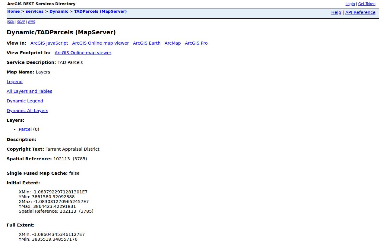
That service supports a measured, adjacent-parcel approach: inspect each selected polygon and keep the source’s parcel attributes separate from any assumption about household membership.
- Enter the known Watauga address in the GIS viewer through Property Search, then confirm the selected situs and parcel reference.
- Click or identify the parcel polygon and note the touching or across-street parcels that match the written selection rule.
- Open the TAD card for each selected parcel and compare owner, mailing address, subdivision, legal description, and instrument context.
- Follow the county deed link only when a recorded ownership question needs a dated document trail.
- Use the Watauga streets reference when the question expands from the immediate block to a whole named street.
Watauga Neighbor Search Tax Cards
The Tarrant Appraisal District card adds details that the parcel outline cannot. A representative TAD result can show an account number, geo reference, property address, property city, primary owner name, and market value. Its detail card can add current owner names, primary owner address, legal description, state code, subdivision, neighborhood code, map references, instrument, and annual document links.
Use the terms as the source uses them. A situs address is the property’s physical location. A parcel is the mapped tax or land unit. A legal description identifies the property through subdivision, lot, block, or other land description. None of those fields turn the property card into an occupant list. A homestead indicator can support an owner-occupancy inference, but it is not conclusive proof that a particular person is at the parcel.
For older ownership context, search the current owner and instrument in the county index, then use the seller or grantor to move backward. When an old address is missing, the legal description, subdivision, lot, block, account reference, and adjacent parcels may supply the next record key.
Watauga Neighbor Association Records
Texas maintains an HOA management-certificate search that can filter by association name, county, city, ZIP, and association type. Its result table identifies an association, county, city, ZIP, type, and linked certificate. It is a lead to an association record, not a public list of members or contacts. The state warns that user contributions may be incomplete or unreliable.
| Association or civic layer | Documented Watauga lead | Access and limit |
|---|---|---|
| Hightower Estates Homeowners Association, Inc. | Official state search row under Watauga | Check the certificate; its listed 76248 ZIP conflicts with local 76148/76137 postal evidence |
| Parkview Whitley Road HOA | Association name located in state search material | Certificate search provides an association lead, not a resident roster |
| Bursey Place Townhomes Association | Association name located in state search material | Verify current certificate information before contacting an association channel |
| Durham Farms HOA | Association name located in state search material | Use state results as a starting point and retain the access date |
| Watauga Improving Neighborhoods Committee | City strategy says it was established in 2014 | Civic outreach context, not a published neighborhood-member directory |
The Hightower ZIP conflict is a useful local quirk. A database field can be stale or wrong, even when the association name is a sound lead. Confirm the certificate and the address with official postal and county sources before treating its ZIP as a fact.
No Roster for Some Watauga Blocks
The City’s One Watauga Development Strategy says many neighborhoods lack organized HOAs. Research did not locate a citywide umbrella association directory, block-watch roster, published community member list, or public Watauga house-history guide. That absence is a limitation, not proof that a block has no civic connection. Ask the city, an association certificate contact, or a reference desk about public channels rather than seeking private lists.
The Watauga Public Library overview documents the local library as a reference resource, even though it does not publish a Watauga neighborhood roster.
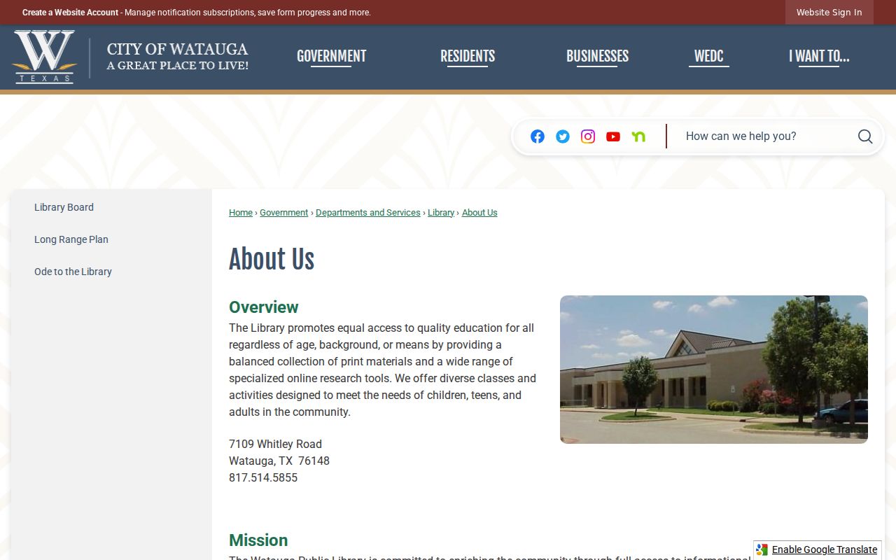
The library can help with public resources, interlibrary loan, newspapers, directories, maps, and local-history questions. It cannot turn a research gap into a current block directory.
Note: Confirm association and library availability directly because collections, certificates, and civic contacts can change after a record is posted.
Compare Watauga Neighbor Sources
Official sources and commercial neighborhood products do not do the same work. The official record trail identifies the relationship a custodian maintains, while a compiled product may blend public fragments with marketing or older data. Use the official chain to test a specific parcel fact, then ask the responsible office about a copy, correction, or access limit.
| Source category | Best use around a Watauga block | Important limit |
|---|---|---|
| Official GIS, TAD, and deed records | Parcel boundaries, recorded owner relationship, legal description, and dated instruments | Do not identify every occupant or household member |
| Official voter and election routes | Status checks, authorized dated files, and precinct or map context | Protected fields and access rules prevent a casual address roster |
| Association certificates and civic channels | Association identity and community-outreach leads | No confirmed public Watauga member directory |
| Commercial compiled products | A possible historical lead to verify independently | Can be stale, incomplete, or merge people with similar names |
A current property card can be free online, but that does not replace the counter, mail, or certified-copy route for a document question. The County Clerk offers online, kiosk, Room B30, and mail options for real-property copies. Unofficial online images require account access, while certified copies have a separate order process.
Archive Clues for a Watauga Block
For an older block question, move beyond the current map. Watauga Public Library offers reference help, public computers, scanning, copying, and interlibrary loan. Ask about city directories, reverse directories, newspapers, yearbooks, microfilm, and local-history material. Some online databases are available to Watauga cardholders, while Ancestry Library Edition is for library use. A specific Watauga directory shelf or obituary index was not located in the research, so confirm holdings with the reference desk.
Tarrant County Archives is the archive alternative for maps, historic directories, school census material, Footprints, cemetery records, probate abstracts, land abstracts, deed cards, and historic ledgers. The Texas State Library lists Watauga under Fort Worth Suburban directory holdings. Those sources can help date a block or address, but a missing directory year is a source gap, not evidence that a person was absent.
For a city-held permit or subdivision document that is not posted online, submit a focused Watauga public-information request with the address, record type, date range, and department. A city permit report can supply address, builder, subdivision, block or lot, date, and permit context. It is not a current resident list.
Privacy in Watauga Neighbor Searches
A public parcel may show an owner and mailing address, but it does not establish who stays at the address or whether another person receives mail there. Utility and customer information are not a general block directory. Texas voter rules restrict residence addresses and identifying information for protected voters. Address Confidentiality Program participants can use substitute addresses, and a name may appear with asterisks in place of a protected voter address.
Do not infer political affiliation from registration data. Texas does not register voters by party, and ballot choices are secret. If an official record appears wrong, ask its custodian for the correction or redaction process. If a research question needs a broader historical street chain, use the public sources patiently and avoid publishing sensitive identifiers.
Lawful use. Use Watauga neighbor records for personal history, civic context, property curiosity, reconnecting, or scam avoidance. Do not use them to watch, stalk, harass, intimidate, or harm anyone.