
Trace a Watauga Street Directory Search
Use a full Watauga situs address, the physical location of the parcel, as the starting point. The strongest street trail joins records that each answer a different question. Tarrant Appraisal District identifies the property and its recorded owner. Tarrant GIS places that parcel among nearby lots. The County Clerk index then supplies recorded instrument leads. A Texas voter status check can verify a matching person only when the official tool permits it; it is not a public street roster. Historic regional directories can add a past address snapshot, but they do not prove a present household.
- Search the address in the Tarrant Appraisal District property search and save the account, situs, owner, legal description, subdivision, instrument, and map reference.
- Enter the same address in the Tarrant County GIS Public Map Viewer. Identify the parcel and note its situs or TAXPIN before opening the related appraisal card.
- Use the instrument or owner name in the Tarrant County real-property index, then compare the recorded parties and legal description to the TAD card.
- For a matching voter, use the official Texas voter-registration check as a status check. Do not expect it to return everyone on a Watauga street.
- For a dated occupant clue, ask the Watauga Public Library, TSLAC, or UT Briscoe about the Fort Worth Suburban volumes that list Watauga under a regional heading.
The useful chain is address to parcel to recorded owner to instrument to dated supporting source. Keep the source date with each fact. A current owner, past owner, and person appearing in a directory may not be the same person.
Search Watauga Streets Through TAD
The TAD search supports Residential, Commercial, Mineral, and Personal Property modes. Its general search accepts an account, address, owner, or selected property-mode search. Results observed by the research include Account #, Geo Reference, Property Address, Property City, Primary Owner Name, and Market Value. The detail card adds current owner names, a primary-owner mailing address, legal description, subdivision, neighborhood code, instrument, map links, and annual document links. The primary-owner mailing address is correspondence information. It is not proof that the owner lives at the Watauga situs.
| TAD field or control | Type | Required | Watauga street use |
|---|---|---|---|
| Property type | Dropdown | Optional/default | Choose Residential, Commercial, Mineral, or Personal Property. |
| Search text | Text | Expected | Enter an address, owner, account, or selected property-mode term. |
| Account # | Text or result identifier | Not required in all modes | Preserve leading zeros if the card displays them. |
| Geo Reference | Result or search identifier | Optional mode | Use as the county and TAD geographic reference. |
| Protest From / To | Date pair | Optional | These controls appear in the protest-search context. |
The Tarrant Appraisal District search is the source for this Watauga street directory image.
The search screen helps preserve the difference between a property relationship and a claim about who currently lives there.
Note: TAD’s official pages do not state a complete online historical start year, so an absent web result is not an end date for Watauga property research.
Map a Watauga Street by Parcel
Tarrant GIS has Property Search modes for Address, Account, and Owner. Its visible tools include Layer List, Facilities, Crime Map, and Identify or Query actions. The public parcel service exposes attributes such as TAXPIN and SITUS_ADDR, and the map can be used to inspect parcel geometry and adjoining polygons. The research found no documented public buffer or radius search. For a street segment, select parcels deliberately, such as those touching the target lot or directly facing it, rather than claiming the map has a household-radius result.
The Tarrant County GIS Public Map Viewer is the source for this Watauga street directory image.
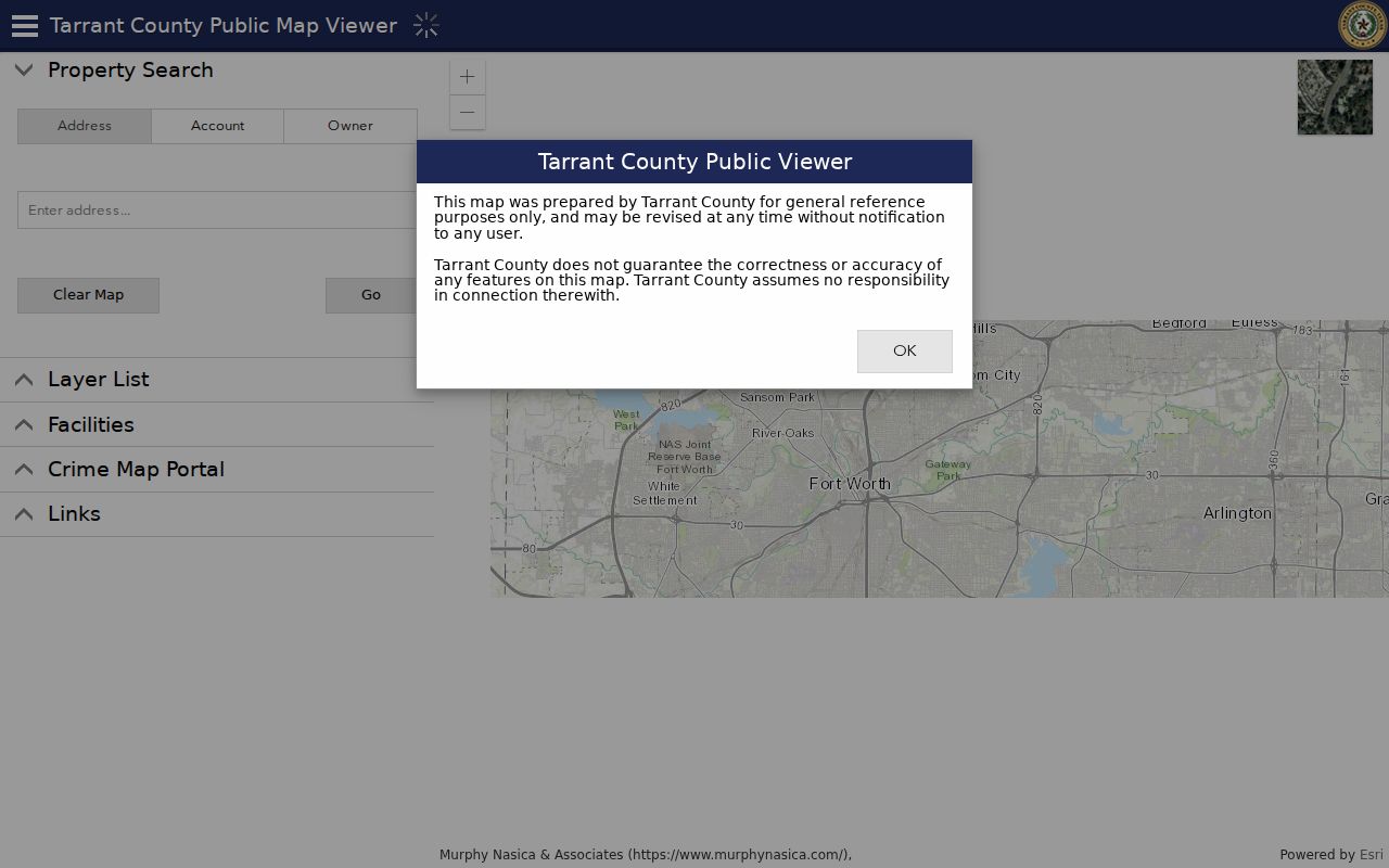
Once a parcel is identified, the map supplies the geographic link back to the appraisal account and then to a recorded instrument search.
- Parcel
- A mapped unit of land in the appraisal and GIS systems, usually associated with an account or tax identifier.
- Situs address
- The physical location of the parcel or building. It is the best street-map key.
- Plat
- A recorded map that lays out a subdivision, lots, blocks, streets, easements, and boundaries.
- Criss-cross directory
- A reverse directory arranged by address so a historic household can be checked from a street entry.
Link Watauga Street Parcels to Deeds
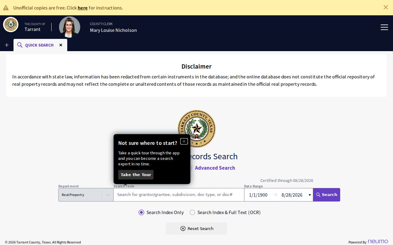
After TAD supplies an instrument, owner, subdivision, or legal description, use the County Clerk’s real-property portal. Quick Search and Advanced Search sit beside an index-only choice and an index plus full-text OCR choice. Index-only treats words separately and is practical for names or document types. OCR searches phrases, but a scanned image can contain recognition errors. The portal also provides Recorded Date From and To fields plus recent browse windows. Its inspected status was certified through August 27, 2026, yet the official online index beginning year was not located.
Start with the current buyer or grantee and purchase instrument. Read the seller or grantor, recording date, legal description, and any prior reference. Search that seller as an earlier grantee, then repeat with a narrower date range. If the street number drops out, the lot, block, subdivision, instrument, or adjacent parcel becomes the better search term. Grantor means the party conveying an interest; grantee means the party receiving it. Those roles are recorded-property facts, not occupancy labels.
Online unofficial watermarked images are free after account sign-in. Certified online copies can be ordered through order history and payment. The same records can be viewed at public kiosks in Room B30, 100 W Weatherford, Fort Worth, from 8 a.m. to 5 p.m. Mail requests need a document number, self-addressed stamped envelope, and cashier’s check, money order, or business check sent to County Clerk, Attn Room B30, 100 W Weatherford, Fort Worth, TX 76196-0401. The stated fee is $1 per page plus $5 for certification, subject to confirmation before mailing.
Check Watauga Street Permit Trails
City permit information can document a change at an address without becoming a list of people on the street. The current Watauga report examples include account or geo reference, subdivision, block and lot, builder, permit number, permit type, date, and address. Those fields can place a structure in time or connect a clean parcel record to a development name. The research did not locate a complete public historical permit index or a public code-case name search.
For a defined street and date range, use the City’s public-information request route and identify the address, permit type or number, and period sought. Watauga Planning and Zoning records, plats, and the planning office are better sources when the problem is a lot or subdivision relationship. A request can seek non-exempt records, but it cannot turn restricted customer or private data into a public street list.
Compare Watauga Street Records
Address-keyed records overlap, but none is a complete Watauga residents directory. Use the record that matches the question, then preserve the limits beside the result. TAD offers the current property card. GIS places the parcel. The deed index records a transaction trail. The city permit route gives construction evidence. Voter and directory sources have their own date and access rules.
| Watauga street record | Keeper | What it can show | Access channel |
|---|---|---|---|
| Appraisal card | Tarrant Appraisal District | Owner, mailing and situs addresses, value, legal description, subdivision, instrument | Public web search; historical start not located |
| Parcel layer | Tarrant GIS and TAD | Geometry, situs address, TAXPIN, parcel relationships | Public viewer and ArcGIS query or identify |
| Real-property index | Tarrant County Clerk | Grantor, grantee, instrument and legal-description continuity | Portal, kiosk, Room B30, online order, or mail copy request |
| Permit report or request | City of Watauga | Address, date, type, builder, subdivision, block and lot | Current report and Texas PIA request |
| Historic directory | TSLAC, UT, library, and archives | Dated address, occupant, telephone, spouse, and notation clues | Physical holdings, reference help, and interlibrary loan |
Texas voter registration is a status-verification tool, not a by-address roster. Tarrant Elections has a public-information request form for dated geographic files, maps, and results. Requests can be made through the office, mail, email, or its designated records contact. Its form lists email and FTP delivery as no charge, a CD at $1, a mailed CD at $2.05, and paper at $.10 per page. Protected voter addresses remain restricted, and state law limits commercial advertising use of voter information.
Choose Watauga Street Deed Index Modes
The county’s index-only and OCR choices are a Watauga street search quirk worth preserving. Index-only is often safer when a surname, subdivision, document type, or number is known. OCR can surface phrase text in images, but it can also miss names because scanned text is imperfect. Search a name variant, then change the term and recorded-date range before treating an empty result as meaningful.
When the portal does not reach the needed document, move to the Tarrant County Archives land-research holdings. Land-title abstracts, Texas General Land Office grants, historical maps, a Fort Worth 1969 ownership atlas, and deed cards provide a legal-description bridge. The Archives also offers more than 600 collections. Walk-ins are Tuesday through Friday, 9 a.m. to 4:30 p.m.; Monday visits require an appointment.
Note: A county clerk can help a visitor navigate a search tool, but the office does not conduct title or lien searches or give a legal title opinion.
Use Watauga Street Subdivision Clues
Street strings are not always the best key. Watauga planning records and subdivision rules use names, lot and block numbers, easements, boundaries, and adjacent subdivisions. Search Hightower, Parkview, Bursey, and Hillview along with the address when a TAD or deed query misses. The 2021 economic profile identifies Hightower Estates, Parkview Estates, Bursey Road townhomes, and Hillview Addition as local development names. A legal description can survive where a postal label or street number does not.
Postal geography adds another reason to save the exact field. Watauga has evidence for 76148 and 76137, but a ZIP does not draw the municipal boundary. Compare the parcel’s TAD situs city, the county map, and the USPS address result. The Watauga ZIP code directory keeps that postal verification workflow separate from this street-level record chain.
Read Older Watauga Street Clues
Before incorporation in 1958, records may use rural, railroad-station, post-office, or neighboring-community descriptions rather than a modern Watauga address. Later household clues appear under Fort Worth Suburban, not a standalone Watauga city-directory title. The identified run lists years from 1963 through 1993 with gaps. A missing volume is a collection gap, not proof that a street was empty or that a person moved.
For historic address work, Watauga Public Library offers reference help, scanning and copying, public internet, in-library Ancestry Library Edition, and interlibrary loan. TSLAC and UT Briscoe are additional physical or catalog routes for the regional directories. The city’s local library route and the Fort Worth county archive route cover different eras and formats, so comparing both is more useful than expecting one online index to hold every address.
Set Watauga Street Directory Limits
A parcel owner, a tax mailing address, an old directory entry, and a voter status match are not interchangeable. Public parcel data does not identify every household member, guest, short-term occupant, utility customer, or person receiving private delivery. Texas protects specified voter addresses and identifiers, and motor-vehicle address information is not a general public street source. A map shows geography, not who sleeps at an address.
Lawful use. Use Watauga street records for personal, civic, property, family-history, or estate research. Never use an address lead to stalk, harass, threaten, or harm another person; Texas Penal Code §42.072 addresses stalking.
If a Watauga record appears wrong, return to its custodian with the account, instrument, case, or request number. Ask for the correction route or the non-exempt portion of a record rather than copying restricted fields into a new list.